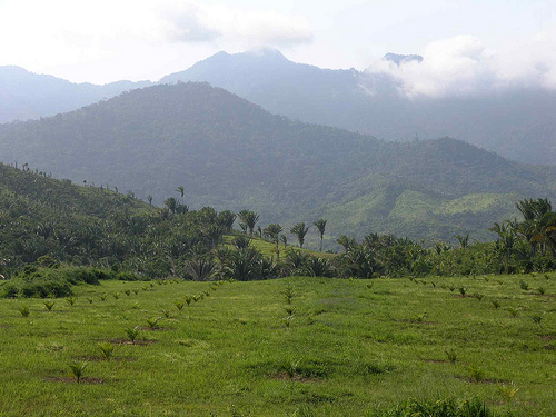

Researchers at the University of Houston, together with the National Center for Airborne Laser Mapping (NCALM) have combined efforts to map an area of Honduras that legend says is hiding a full ‘White City’ of gold.
Looks like they found it.
Daily Mail writes:
A team of scientists using advanced laser mapping have detailed a remote region of Honduras that may have revealed the legendary lost city of Ciudad Blanca, known as the ‘White City’ of gold.
Researchers from the University of Houston and the National Center for Airborne Laser Mapping (NCALM) flew over the Mosquitia region in a small plane shooting billions of laser pulses at the ground to create a 3D digital map of the topology beneath the jungle canopy. Compiling their data, the analysts revealed what appears to be man-made elevation changes that are thought to show a forgotten city plaza dotted with pyramids reclaimed by the jungle.
According to legend, Ciudad Blanca or the ‘White City’ is full of gold and has been sought out by explorers and treasure hunters since conquistador Hernando Cortes first made reference to it in a 1526 letter to King Charles V of Spain. Inspired by this legend, cinematographer and Ciudad Blanca enthusiast Steven Elkins sought backing from private investors to pay for the team at NCLAM to use their laser mapping technology to chart the forest floor of Mosquitia.
Over the course of a week, the NCALM and University of Houston engineers flew over 60 square miles of forest in their dual-engine Cessna planes. And at the end of each day, the data was transferred to Bill Carter, a University of Houston engineer who works with the NCLAM. He discovered the first indications of what appeared to be man-made structures in the jungle.
‘I’m the only person right now on the planet that knows that there’s these ruins,’ said Carter as he recalled his thoughts when he saw straight lines and right angles on the 3D digital map. ‘My wife walked in and looked over my shoulder and she was the second person to know.’
This was one of the first times that laser mapping, specifically light detection and ranging (LiDAR) had been used to locate ancient ruins.
Read more: dailymail.co.uk
